- Tourism
- Mountains
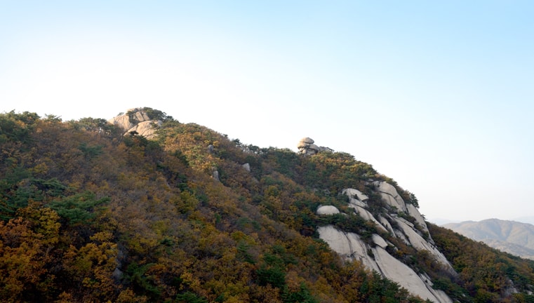
- Mt. Sapae
Mt. Sapae
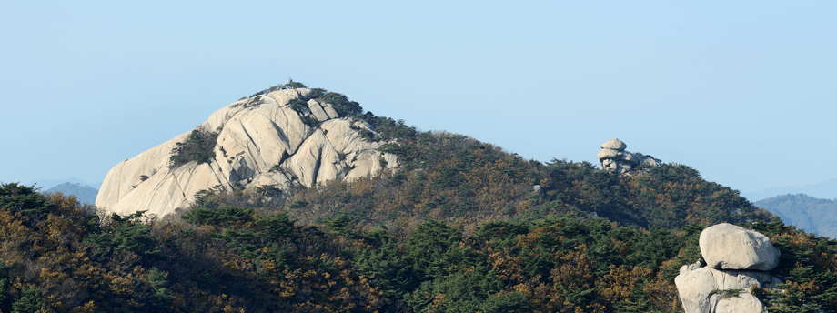
552 m high and located at the northern end of Bukhansan National Park, Mt. Sapae faces Mt. Surak in the east and Mt. Dobong in the southwest, to which it is connected with Podaeneungseon (terrain), and between them is Hoeryonggol Valley.
Located in the western part of Ujeongbu, Mt. Sapae’s 4-km-long Songchu Valley, located in Jangheung-myeon in Yangju-si, is designated as Songchu Zone in Bukhansan National Park.
It is thought that its name orginated from King Seonjo in the Joseon dynasty. When his sixth daughter, Princess Jeonghwi, was married to Yujeongryang, he gave Mt. Sapae to her.
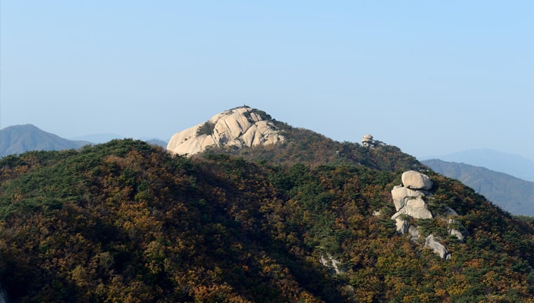
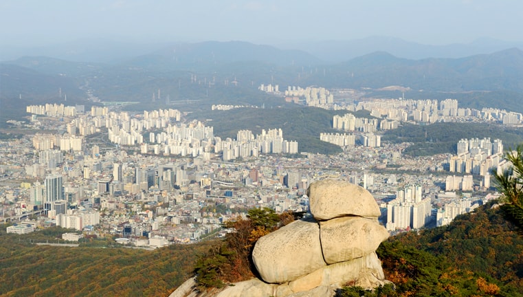
Having long been off-limits as a military protection zone, Mt. Sapae offers limited access to the public. As Mt. Sapae is less popular than Mt. Dobong and Mt. Bukhansan, its natural environment has been well preserved.
Its thick woods and the abundunt water in the valleys make Mt. Sapae popular as a family vacation destination.
Compared to the sharp peaks of Mt. Dobong, this rocky mountain offers a wider magna-created top, resembling a huge altar.
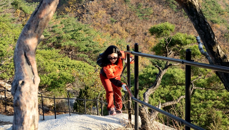
The hiking routes start from Songchu Valley or Wongaksa Valley in Jangju-si or Angol Valley, Beomgol Valley, or Hoeryong Valley in Uijeongbu. No matter where you start, the course would usually take about 3 to 4 hours to the top.
If you want to enjoy the cool air and scenic views from the valleys, you will want to start from Beomgol Valley, Angol Valley, or Songchu Valley.
Photo Information
Scenic Hiking Courses
-
Course 14.4 km long,
about-2-hour-30-minute hike- Wondobong Visiting Center
- Deokjesam
- Mangwol Temple
- Podae
neungseon (terrain) - Podae Forrest Fire Checkpoint
- Hoeryong Templegeori
(four-point crossroad) - Beomgolneung
seonsageori
(four-point crossroad) - Mt. Sapae
-
Course 24.6 km long,
about-2-hour-50-minute hike- Wondobong Visiting Center
- Wongaksa Temple
- Ssangyongsa Temple
- Wonhyo Temple
- Podaeneungseon (terrain)
- Hoeryong Templegeori
(four-point crossroad) - Beomgolneung
seonsamgeori
(three-point crossroad) - Mt. Sapae
-
Course 35 km long,
about-2-hour-50-minute hike- Anmal Checkpoint
- Yeongsan Beophwasa Temple
- Sapaeneungseon (terrain)
- Hoeryong Templegeori
(four-point crossroad) - Beomgolneung
seonsamgeori
(three-point crossroad) - Mt. Sapae
-
Course 43.7 km long,
about-2-hour hike- Hoeryong Visiting Center
- Hoeryong Temple
- Hoeryong Templegeori
(four-point crossroad) - Beomgolneungseonsamgeori (three-point crossroad)
- Mt. Sapae