- Tourism
- Mountains
- Mt. Surak
Mt. Surak
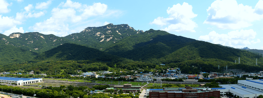
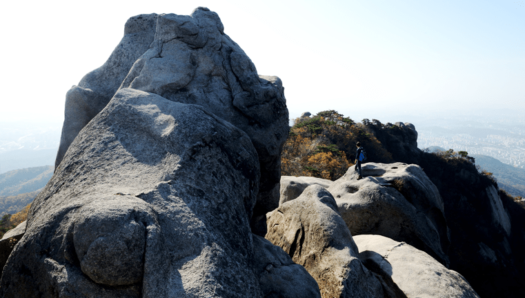
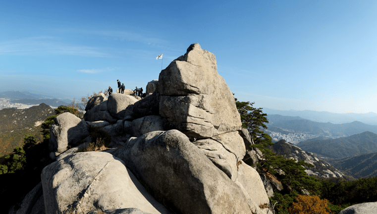
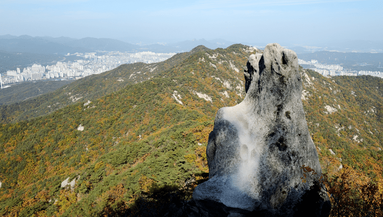
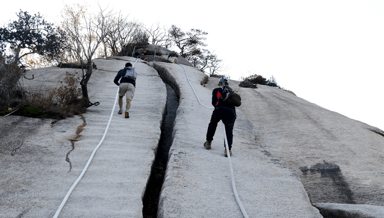
Mt. Surak is a border mountain between Ujeongbu, Gyeonggi-do, Nowon-gu, Seoul, and Byeolnae-myeon in Namyangju. Boasting magnificent and strange-looking rocks and beautiful granite ridges, Mt. Surak is known for its elegant terrains and deep gorges. Visitors can appreciate various rocks named based on their resemblance to trains, helmets, and others. The routes up to the top of the mountain offer the visitors excellent views of the areas surrounding the region, making Mt. Surak one of the most popular destinations in the Seoul/Gyeong-gi region.
637.7 m high from sea level, the mountain is not very high, and climbing up is a joy whatever the season. Some of the well-known attractions on the way to the top are Keumryu Valley in the east, Ssangamsa Temple in the western slope, Gyerimam Rock in the south, and Naewonam Rock in the north.
Additionally, there is a historic route that allows you to follow the traces of Master Park, Se-dang, who lived at the foot of Mt. Surak.
This route starts from Master Park’s old house to Nogang Memorial Hall, where his son Moonryeolgong Park, Tae-bo’s ancestral tablet is enshrined, and following the traces of Maewoldang Kim, Si-seup, whom Master Park admired, would lead you to the reconstructed Seokrim Temple, and finally up to the top of Mt. Surak.
Photo Information
Scenic Hiking Courses
-
Seokrim Temple Course2.2 km long,
about-1-hour-40-minute hike- Seogye Park, Se-dang Sarangchae
- Nogang Memorial Hall
- Seokrim Templel Temple
- scenic viewpoint
- top of Mt. Surak
-
Dongmakgol Course5.3 m long,
about-2-hour-10-minute hike- Dongmakgol (Jangamjugong Samgeori (three-way interdivision))
- Dojeongbong
- Train Rock
- top
-
Mangadae Course4.5 km long,
about-1-hour-50-minute hike- Mangadae Firearm Storage Checkpoint
- Dojeongbong
- Train Rock
- top
-
Heukseok Course2.4 km long,
about-1-hour-20-minute hike- Heukseok Firearm
Storage Checkpoint - Train Rock
- top
- Heukseok Firearm

