- Tourism
- Mountains
- Mt. Wondobong
Mt. Wondobong
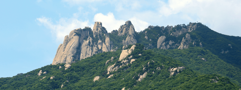
739.5 m high, Mt. Wondobong’s highest peak is Jawoonbong. Along with Mt. Bukhansan, it is part of Bukhansan National Park, creating the boundary between Dobong-gu in Seoul, Uijeongbu-si and Yangju-si in Gyeonggi-do.
Divided by Uiryong in Dobong-gu in Seoul, Mt. Wondobong rises along with Mt. Bukhansan, and faces Mt. Sapae to the north.
24 ㎢ wide, the mountain’s hiking routes are more packed than the 55㎢ hiking route of Mt. Bukhansan, and the whole mountain has several big rocks.
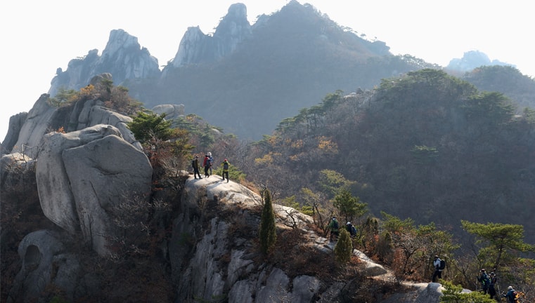
Various peaks — Jawoonbong, Manjangbong, Seoninbong, Jubong, and Wooiam and the five rock peaks in the west line — make up the famous terrains and the undulating scenic views that make Mt. Wondobong very popular. In particular, Seoninbong is a popular destination for those who love rock climbing.
Located at Mt. Wondobong are Cheonchuksa Temple, the oldest structure among the about 60 temples in the region, Mangwol Temple, Ssangryongsa Temple, Hoeryong Temple, and other well-known temples, attracting Buddhist believers and tourists in all seasons. The convenient transportation means between Seoul and Uijeongbu allow easy access to these temples.
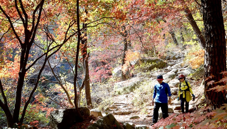
The three valleys in Mt. Dobong are Moonsadong Valley, Mangwol Temple Valley (Wondobong Valley), and Bomunsa Valley (Musugol), each of which is connected to the scenic hiking routes. Donbongdong Valley, Songchu Valley, Mangwol Valley, Obong Valley, and Yongeocheon Valley have also been developed as parks and recreation sites, which, along with Mr. Surak and Mt. Buram, make Mt. Wondobong one of the best hiking destinations in the country.
Photo Information
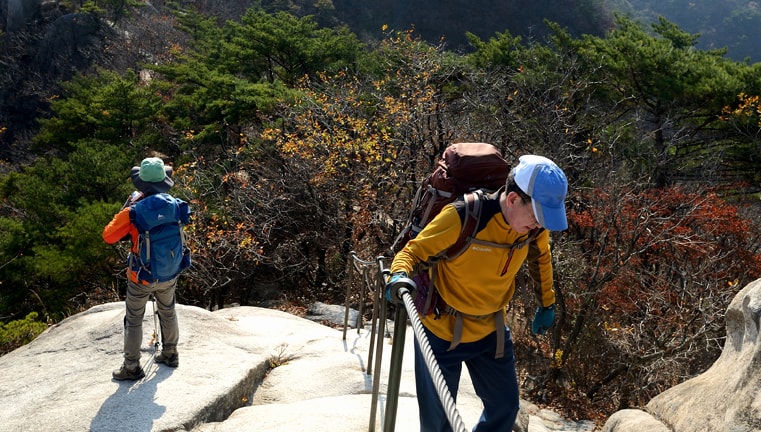
Scenic Hiking Courses
-
Course 13.8 km long,
about-2-hour hike- Wondobong Visiting Center
- Deokjesam
- Mangwol Temple
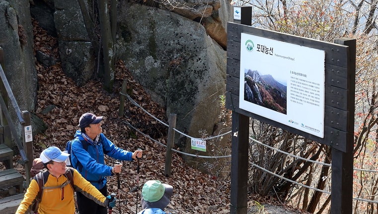
- Podaeneungseon (terrain)
- Minchosam
- Podaejeongsang (top)
- Jawoonbong
-
Course 23.3 km long,
about-1-hour-50-minute hike- Wondobong Visiting Center
- Wongaksa Temple
- Ssangyongsa Temple
- Deokjesam
- Minchosam
- Podaejeongsang (top)
- Jawoonbong
-
Course 34.3 km long,
about-2-hour-20-minute hike- Anmal Checkpoint
- Yeongsan Beophwasa Temple
- Podaeneungseon (terrain)
- Minchosam
- Podaejeongsang (top)
- Jawoonbong
-
Course 45 km long,
about-3(sam)-hour hike- Hwaryong
Visiting Center - Hoeryong
Temple - Hoeryong Templegeori(four-way crossroad)
- Podaeneungseon (terrain)
- Minchosam
- Podaejeongsang (top)
- Jawoonbong
- Hwaryong